 | Green route sign. | See map. |
 | Looking West towards Tíjola. | See map. |
 | Aqueduct for irrigation water. | See map. |
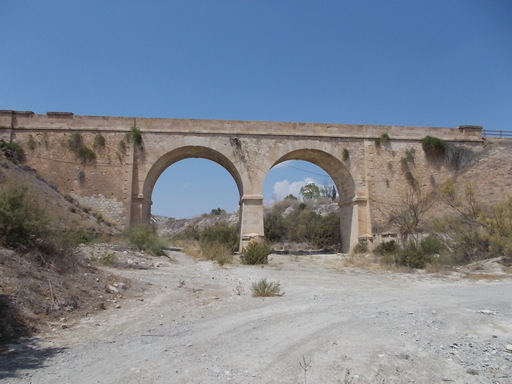 | Viaduct. | See map. |
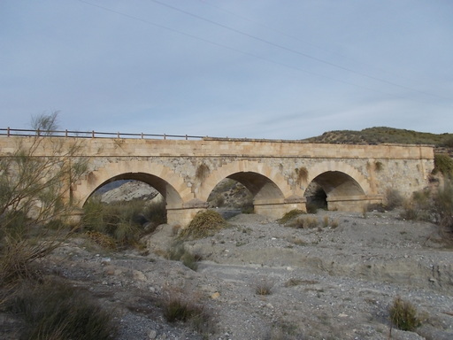 | Bridge over Río Almanzora. | See map. |
 | Pointless tunnel. | See map. |
 | Looking west towards Tíjola. | See map. |
 | A beautifully constructed bridge which doubles up as a road bridge and an aqueduct. | See map. |
 | Magnificent bridge over a rambla. | See map. |
 | Feature on the walls of the bridge. | See map. |
 | View to the south west over the bridge to Tíjola, with the hamlet of Armuña de Almanzora in the distance. | See map. |
 | Bridge doubling up as an aqueduct. | See map. |
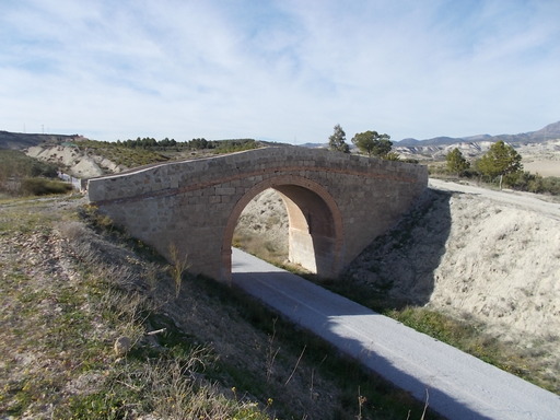 | Small bridge now closed off to traffic - ?dangerous. | See map. |
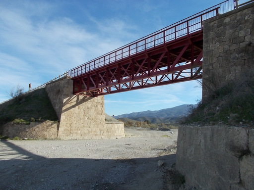 | 40 metre long iron bridge over Rambla Cela. Recently painted as part of the green route scheme. | See map. |
 | Not exactly twins - the bridge on the left is 40m, the one on the right is 48m. | See map. |
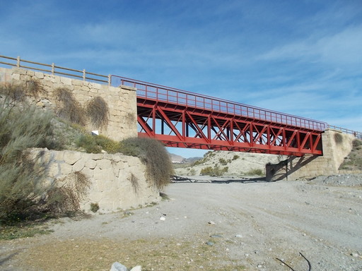 | The eastern bridge of 30 metres span weighing 57.3 tonnes over Rambla Lucar. In excellent condition. | See map. |
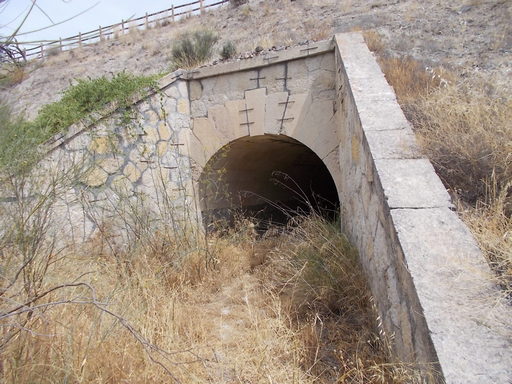 | Large culvert that has some movement, which has been repaired. | See map. |
 | Hidey-hole in centre of tunnel. | See map. |
 | Enormous 36 metre culvert in a remote part of the line. | See map. |
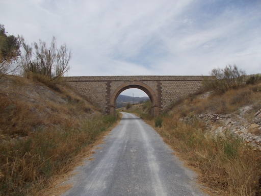 | Bridge which doubles up as an aqueduct. | See map. |
 | Track worker's house. | See map. |
 | Cistern for the soft water line from the steam pump in Tíjola to Zurgena station. Presumably, this acted as a pressure release system. | See map. |
 | Plaque in the 83 metre Las Cañadicas tunnel between Tíjola and Purchena in remembrance of Leonor Berbel Sánchez. | See map. |