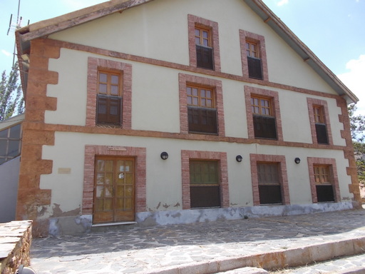
 | The General Office. The administration centre of Las Menas including the Director's office, wages, finance, telephone exchange, technical and drawing offices. | See map. |
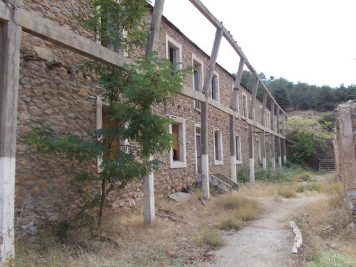 | Civil Guard barracks. Built in the 1930s, these included three dormitories, a kitchen, dining area and bathrooms. The two rooms at the front which can be seen on the satellite map were (on the right) for the security guard and the other was for the armoury. | See map. |
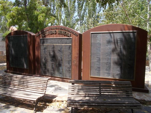 | The Miner's Monument listing the names of the miners who worked in Las Menas over the years. | See map. |
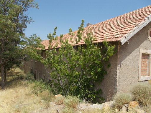 | Workers' housing. There were separate blocks for families and single men. | See map. |
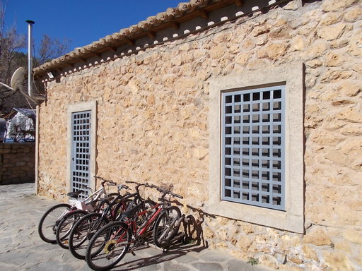 | Hospital. This was equipped with the facilities needed to treat emergencies as well as general illnesses amongst the 3,000 miners and their families. Appointed with an operating theatre, radiology, clinic etc. | See map. |
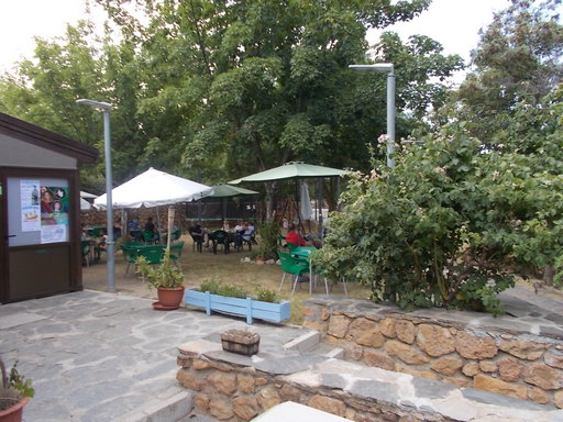 | The Hospital has now been converted to a campsite. | See map. |
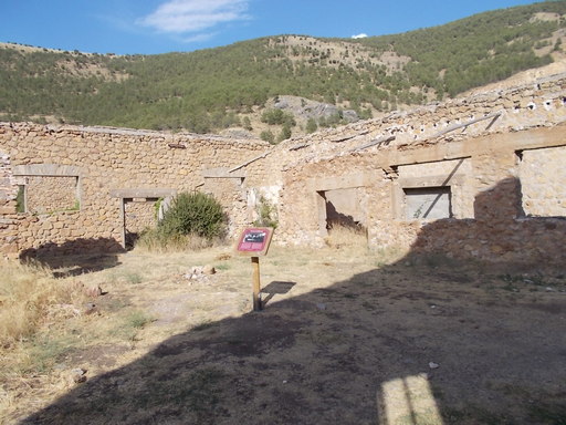 | The workshops where the mining equipment was manufactured and repaired. They included lathes, milling machines, electrical generator, forge, steel cutters, steel saws, electric drills etc. Nearby was the General Store for all materials required in the mining process. | See map. |
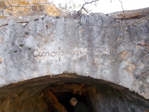 | The entrance to 'Concepción Mine' which was about 6km long. The mine closed in 1968. | See map. |
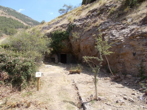 | The entrance to 'Jota' mine. This had a narrow gauge railway that ran directly to the main loader 330 metres away, thence to Serón. There is a photograph of this mine in action. | See map. |
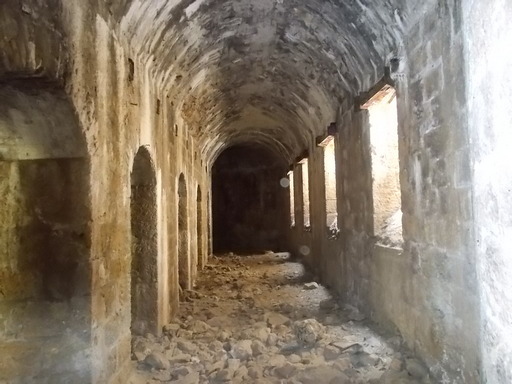 | The inside of the hopper whereby the iron ore was loaded into gondolas or carriers to go down to Serón and Los Canos. | See map. |
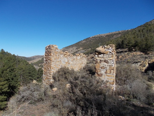 | Support for a pylon which carried the cable from the mines to the south to the main loader in Las Menas. | See map. |
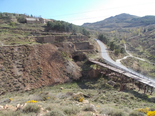 | The main loader below Las Menas responsible for the transport of iron ore to Serón and Los Canos via aerial cables. | See map. |
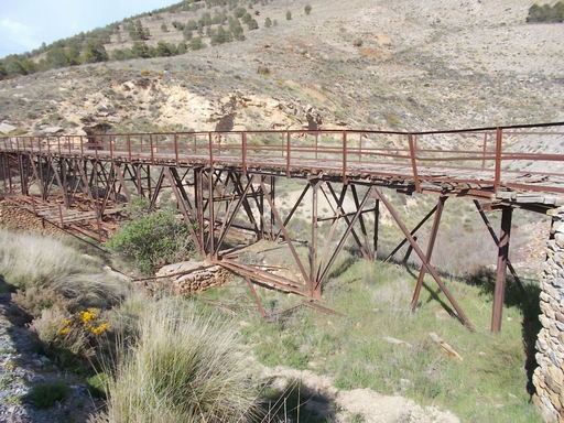 | The road bridge across Barranco de Las Menas. | See map. |
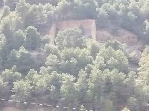 | The 'English' loader above which is a mine. | See map. |
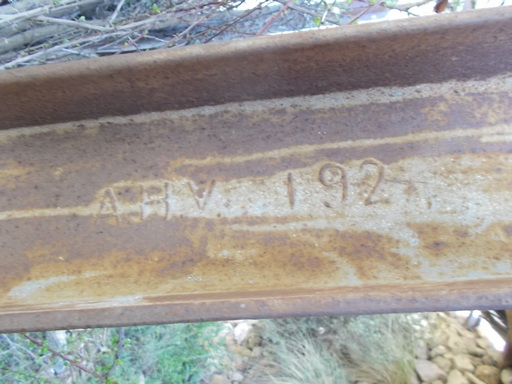 | Support manufactured in 1924 by A.H.V. | See map. |
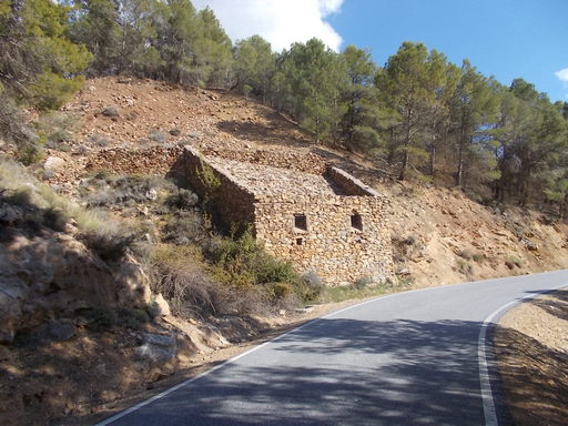 | Loader for the mine to the east. | See map. |
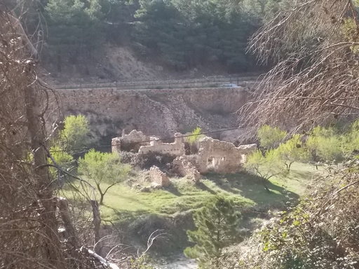 | Rascador Bajo. Another loader belonging to 'The English'. | See map. |
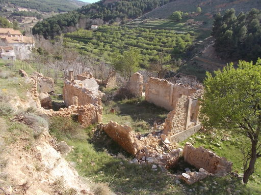 | Rascador Bajo. | See map. |
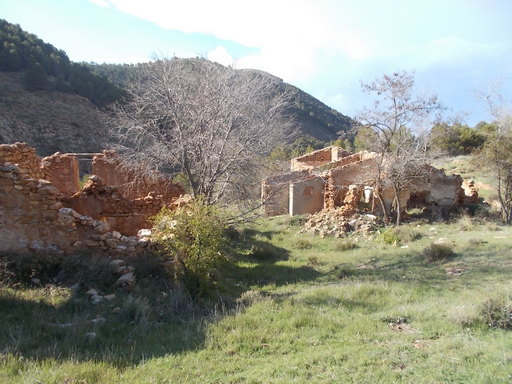 | El Rascador Bajo. | See map. |
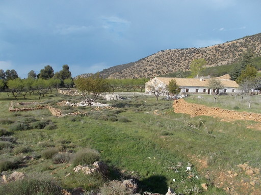 | Cabarga de San Miguel. | See map. |
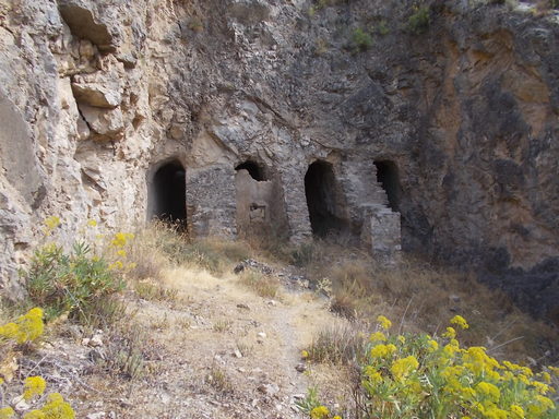 | Four tunnels bored out of solid rock for the passage of the cableways down to Serón Station. | See map. |
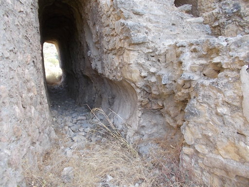 | One of the four tunnels which allowed the cable to go down to Serón. | See map. |
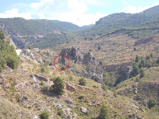 | Four tunnels carved out of rock. | See map. |
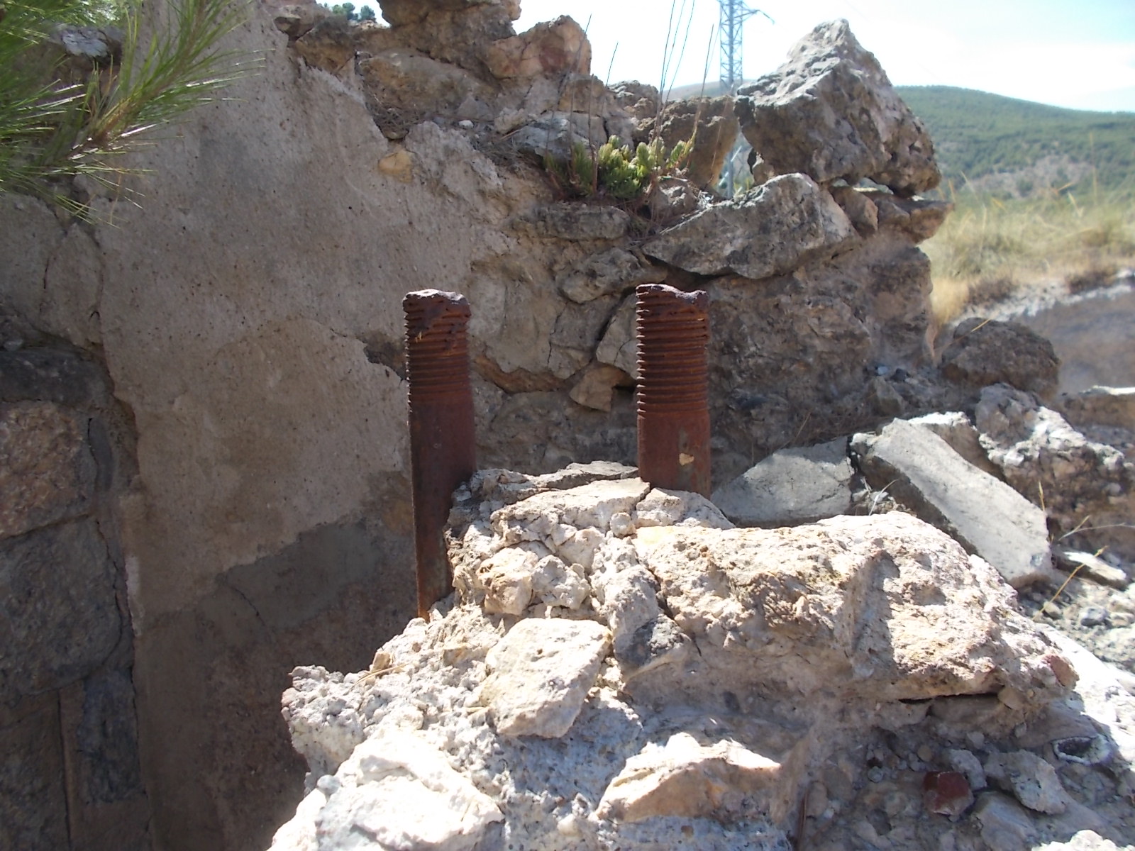 | Mounting bolts on top of a pillar in the Ángulo of the Las Menas cable which went down to Los Canos. | See map. |
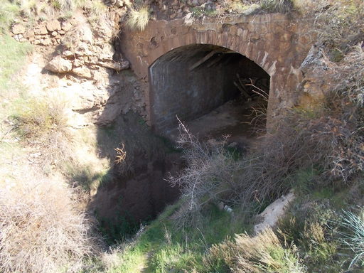 | Entrance to the Las Menas loader where the carriers would leave for Los Canos loader. | See map. |
 | The old bridge which transported everything across the gorge to and from Las Menas before the main road was built. | See map. |
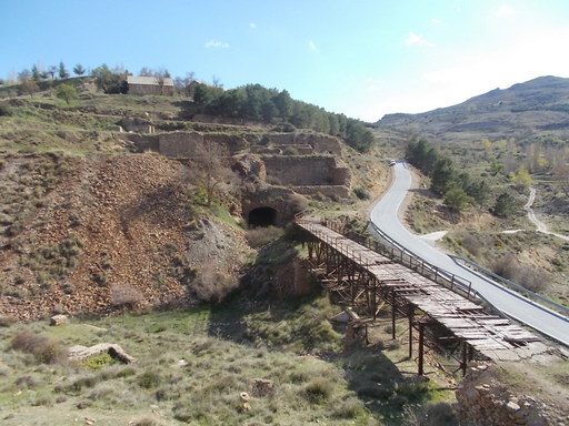 | View of the iron bridge and main loader. Above the arch can be seen the hoppers where the iron ore was stored ready for transpot to Los Canos. | See map. |
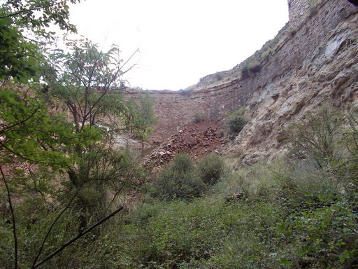 | One of the three huge iron ore storage areas comprising the loader. | See map. |
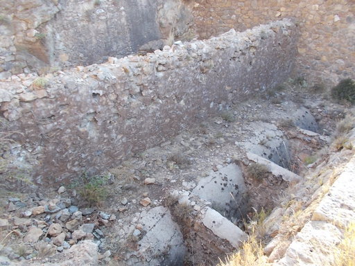 | One of the three iron ore containers from above. | See map. |
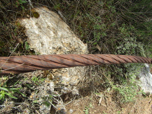 | A length of cable left over from the mining days. It appears to be of the type described in the 1914 Trenton-Bleichert booklet. | See map. |
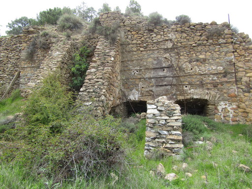 | These two entrances can be found above one of the iron ore containers and were possibly once a mine. | See map. |
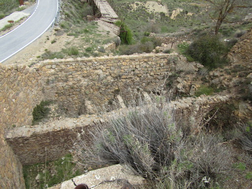 | View from above of two of the three containers situated above the loader. | See map. |