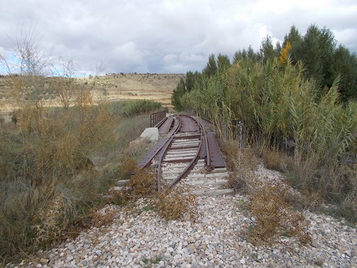
 | Bridge over River Gor. Note the camber as the bridge was on a very tight curve. | See map. |
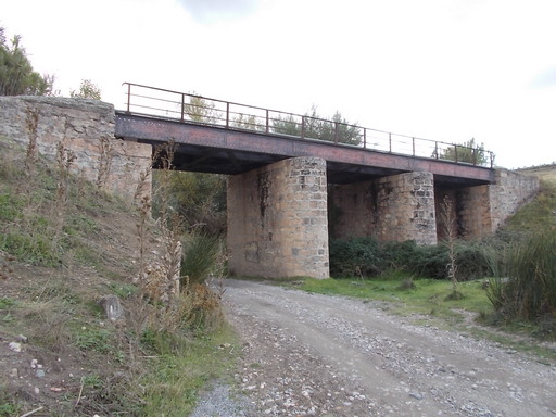 | The bridge over the River Gor from the river. | See map. |
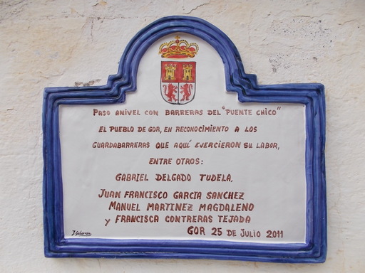 | Plaque on the railwaymans hut next to the level crossing. It says "Level crossing with barriers of 'Puente Chico'. The village of Gor, in recognition of those railway crossing workers who did their work here." | See map. |
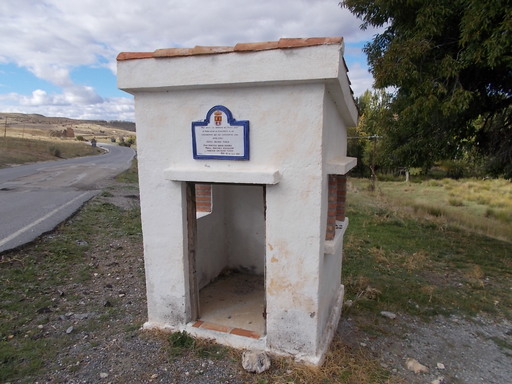 | The railwayman's hut next to the level crossing. | See map. |
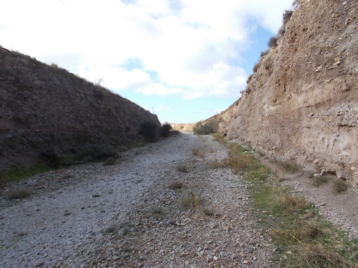 | Deep cutting close to Gorafe Station. | See map. |
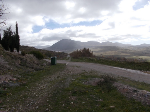 | Level crossing looking towards the town of Gor. | See map. |
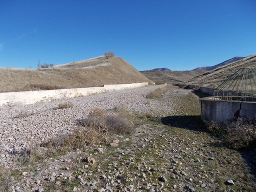 | Looking towards Gor town. On the right is a drainage system to solve the problem of subsidence of the track. Wells were dug to drain this section. It is certainly a muddy area. | See map. |
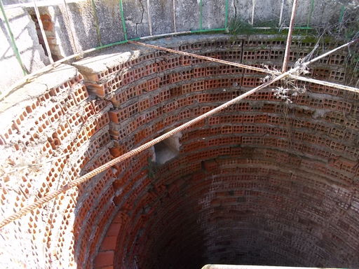 | One of the drainage wells. At the end of these there is a discharge area where the water could run down the mountainside. | See map. |
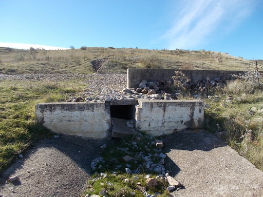 | The drain. It looks like the wells were linked by an underground tube which discharged here. | See map. |
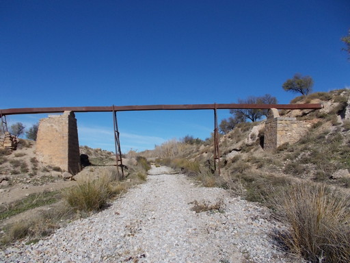 | 'Acequia de Almaraz' aqueduct over the track. | See map. |
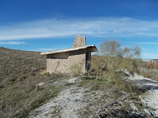 | Halt that was probably built in the days of RENFE. | See map. |
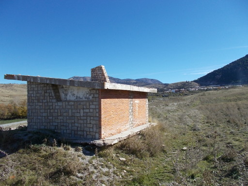 | The halt, looking towards the town of Gor. | See map. |
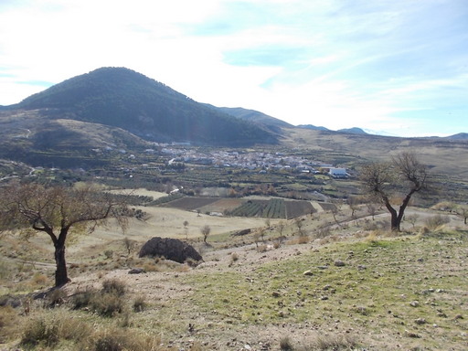 | View of Gor. | See map. |
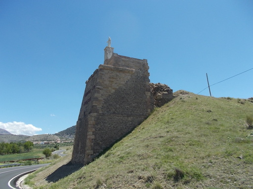 | The western (Guadix) pillar. | See map. |
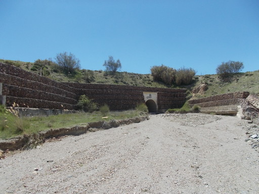 | Culvert for Rambla del Bacal. It seems that at some time the original culvert was destroyed, possibly by flooding and rebuilt by RENFE. | See map. |
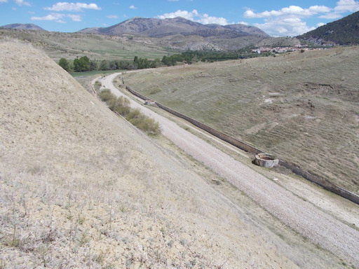 | Large hill cut away for the track. | See map. |