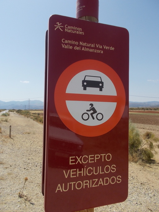
 | The start of the green route from Estación de Hijate. | See map. |
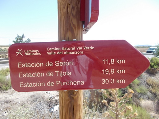 | Sign at the start of the green route from Estación de Hijate. | See map. |
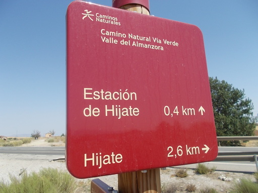 | Sign at the level crossing at Estación de Hijate looking in the direction of Baza. | See map. |
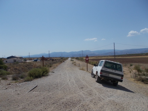 | The green route from the level crossing looking towards Serón. | See map. |
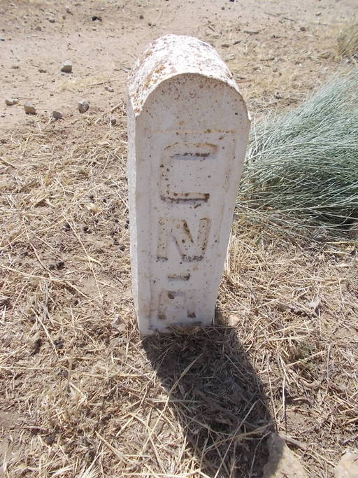 | Trackside post indicating the position of the water pipe between Lake Negratín and Almanzora. CNA = Conexión Negratín Almanzora. This water irrigates the Almanzora Valley. | See map. |
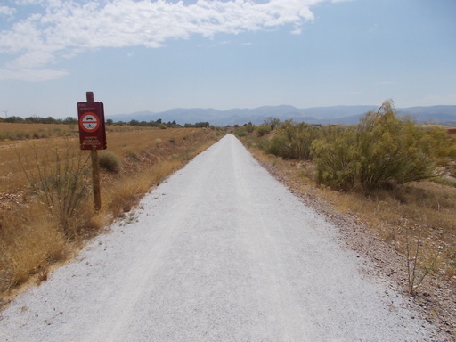 | Start of the green route at the Estación Hijate level crossing. | See map. |
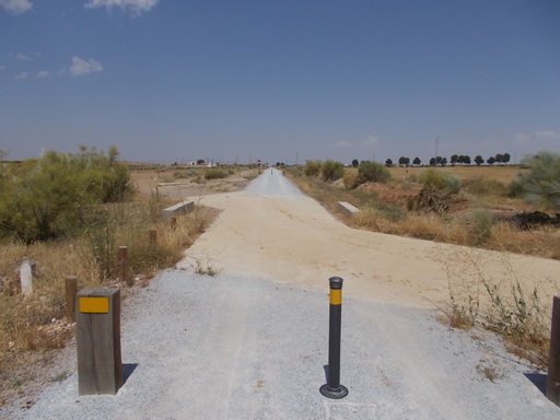 | Level crossing near Hijate. | See map. |
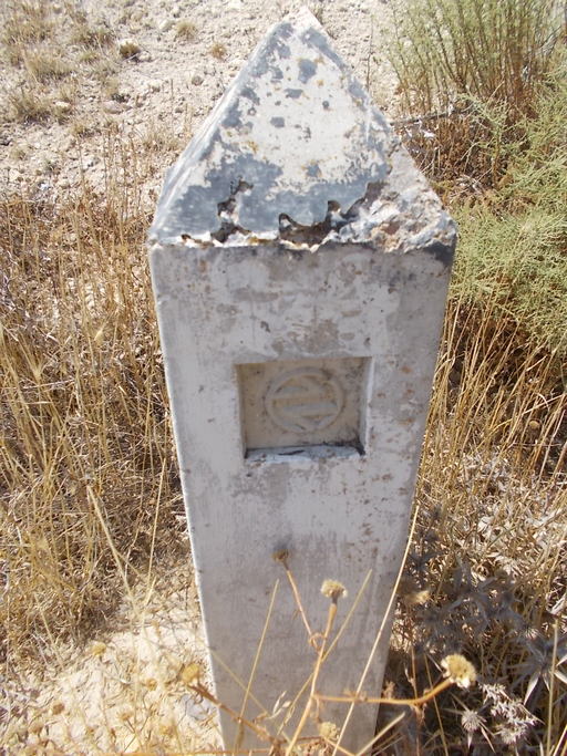 | RENFE signpost indicating where the telecommunications cables are buried. | See map. |
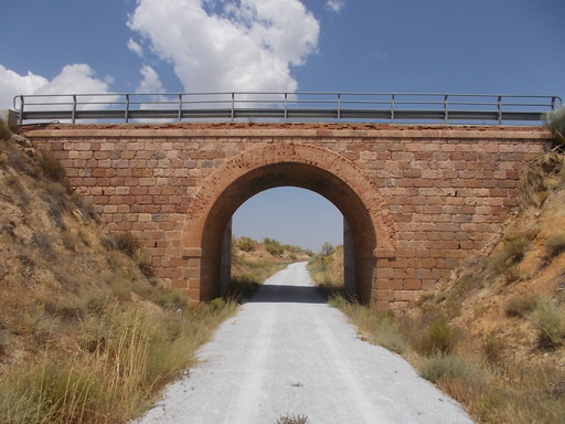 | Road bridge, nowadays the AL6403 to Alcóntar. | See map. |
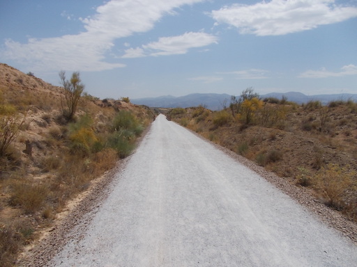 | Looking towards Estación de Serón. | See map. |
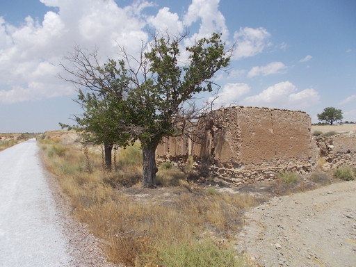 | Railway workers house. | See map. |
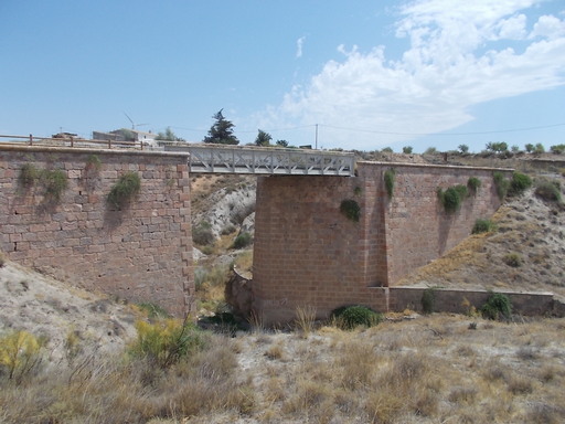 | Bridge over Rambla Hijate or Rambla Ramil. | See map. |
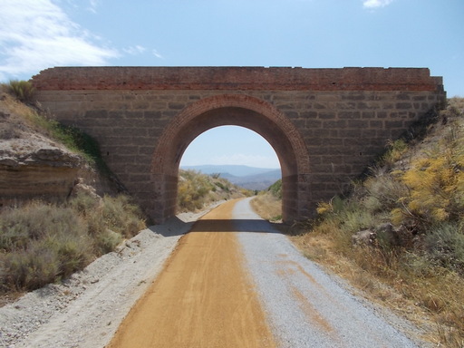 | 12 metre Bridge close to Serón Station. | See map. |
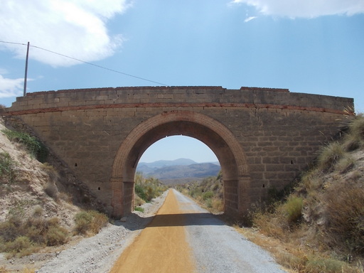 | Bridge. | See map. |
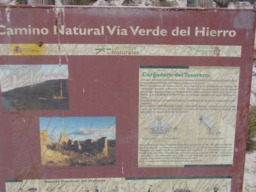 | Information board regarding the iron-ore loader for the Tesorero mines. | See map. |
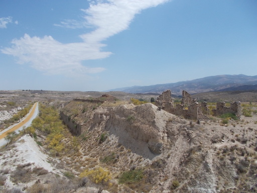 | The Tesorero iron ore loader. This is where the iron ore came down from the mines in the mountains on cables and was loaded onto the trains. See Loader. | See map. |
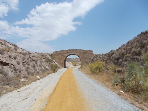 | Bridge. | See map. |
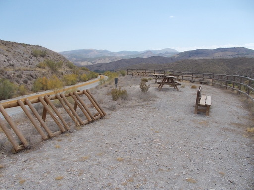 | Picnic area. | See map. |
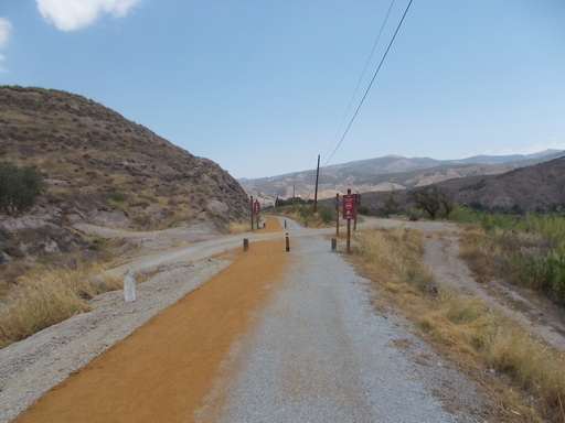 | Level crossing. | See map. |
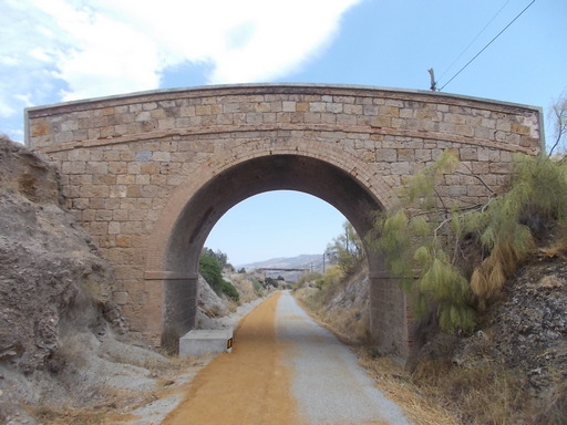 | Bridge. | See map. |
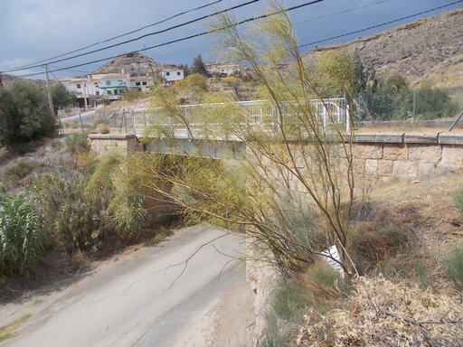 | Iron bridge called 'Puente de Los Moquetes'. | See map. |
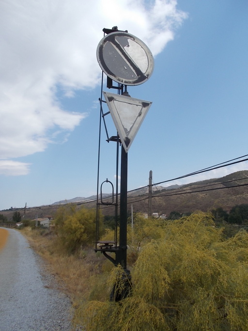 | Signal on approach to Estación de Serón. | See map. |
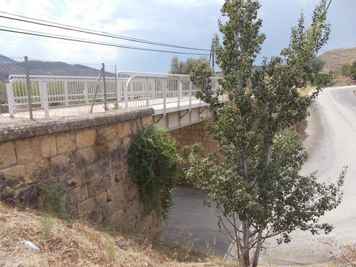 | Bridge near to Los Donatos. | See map. |
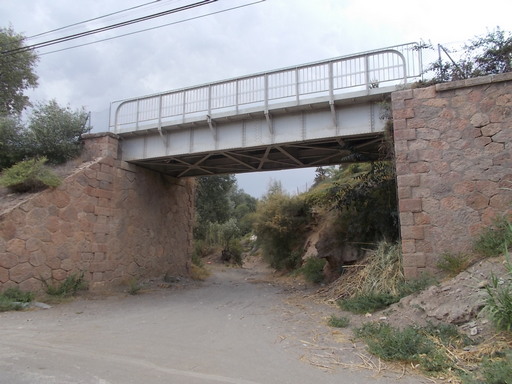 | Bridge over Barranco del Pozo. | See map. |
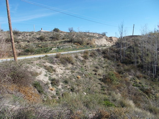 | Huge embankment. | See map. |
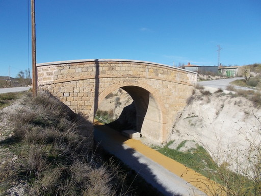 | Lovely bridge in perfect condition. | See map. |
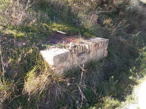 | Well which was used to refill locomotives. | See map. |
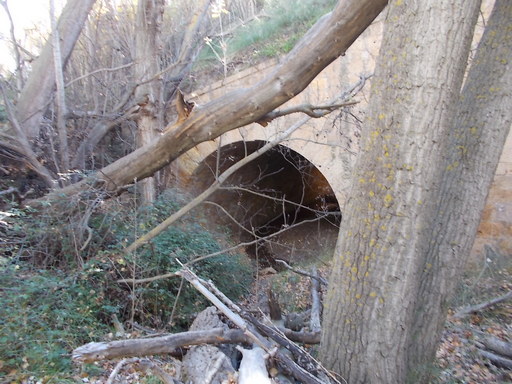 | Beautiful culvert hidden from view. | See map. |
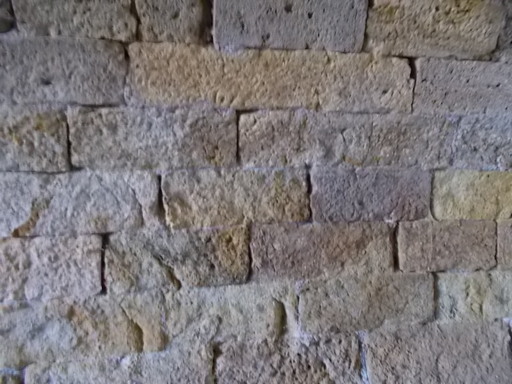 | Quality of stonework inside a culvert. | See map. |
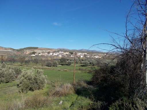 | Estación de Serón from the other side of Río Almanzora showing the amount of development as a result of the GSSR. In 1894 there were no buildings in that area. | See map. |
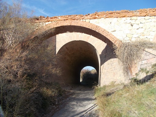 | Large culvert with an aqueduct in front. | See map. |
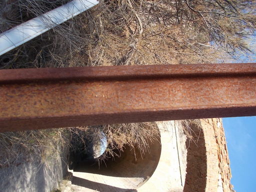 | Old piece of rail manufactured by 'The North Eastern Steel Co. Ltd.' in 1889 being used as a support for an irrigation canal. | See map. |
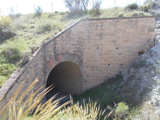 | Huge culvert in excellent condition. | See map. |
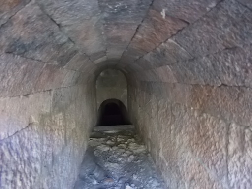 | Superb stonework in a culvert. | See map. |
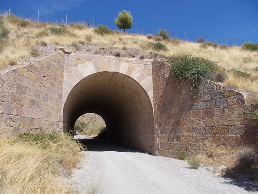 | Stonework bridge over a rambla. | See map. |
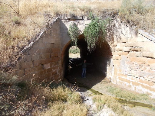 | Huge culvert over Rambla Egea. | See map. |
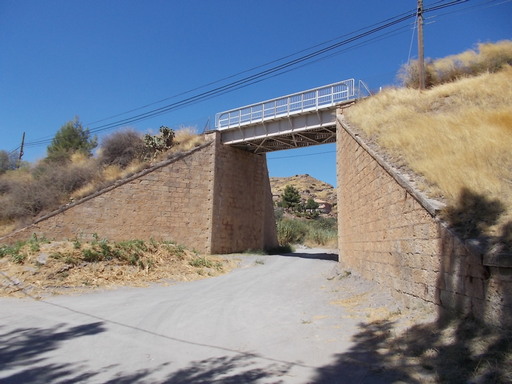 | 12 metre bridge near to Los Donatos. | See map. |
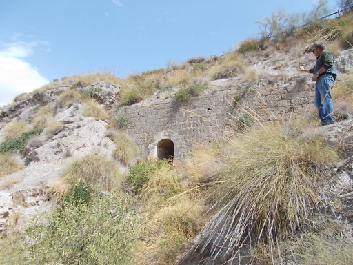 | Long culvert exiting in the centre of a huge stone retaining wall. | See map. |
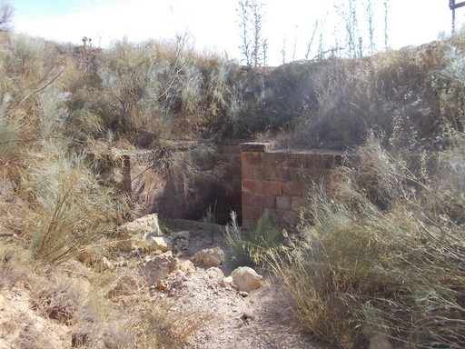 | Culvert serving Barranco de La Pinatada. Unique on The GSSR in that, due to the steepness of the land, one side is built like a syphon 2.5 metres deep. The other entrance is like most other culverts. | See map. |